site optimisé pour 1024*768
A Collaborative Forest Fire Fighting Simulation Tool
Part I : Playground
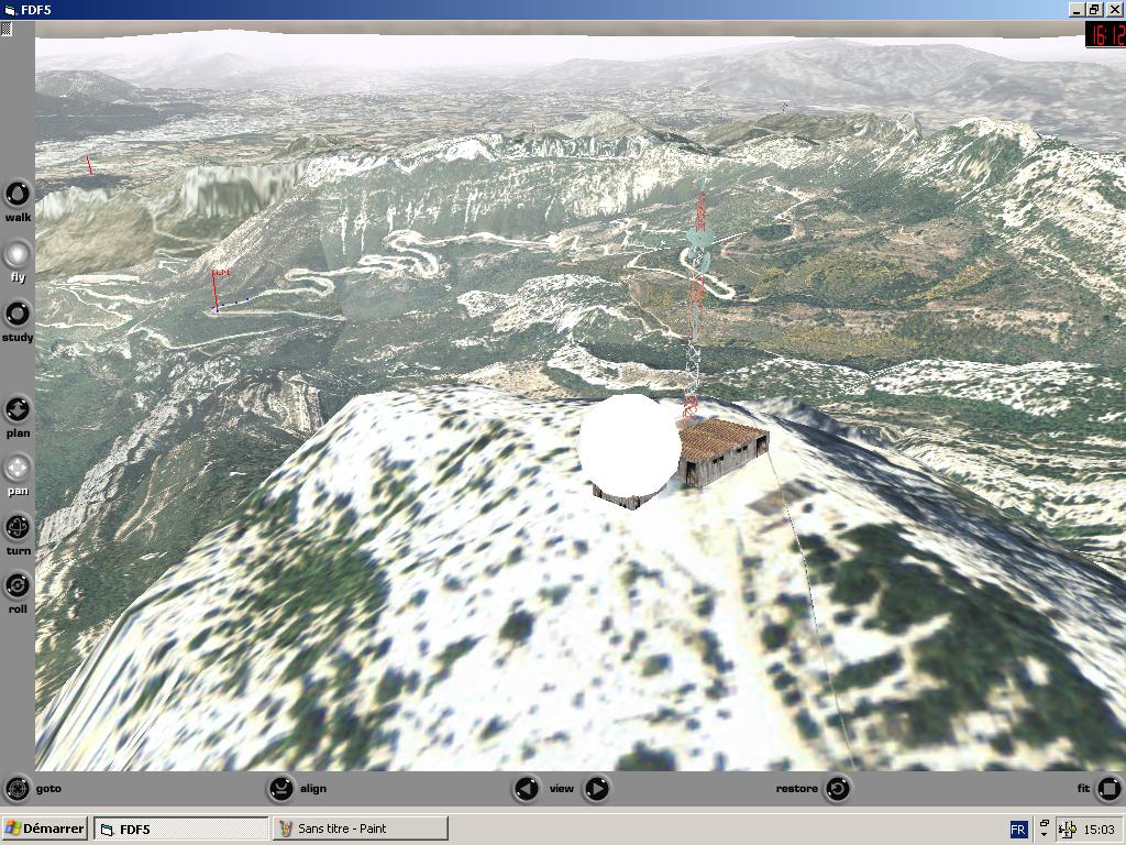
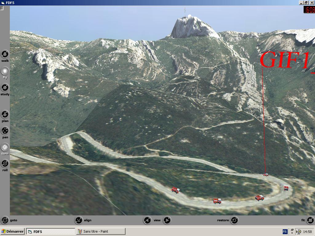
Terrain playground covers 1000 sq kms in South of France, down to a raster resolution of 50 cm / pixel. 3 000 more sq kms are under construct. Terrain specificity is that it has been designed for both flight and ground navigation.
The very same terrain cannot be fine tuned for both ground and flight navigation, so, there are two different sets of terrain tiles, and two sets of LODs parameters. To achieve a sustained framerate, specific mechanisms had to be designed, to load and unload from the rendering engine, both geometry and raster. A careful memory management has been designed, as well as auto adaptative LOD switching parameters. The terrain can be rendered on a vast range of machines configurations.
VRML (Parallelgraphics Cortona engine) has been picked up as a rendering engine for it's high flexibility, high level interaction mechanisms, adaptability (no much hardware, OS, or software prerequisite) and low deployment / development cost. Support quality and kindness has been a major point too (thanks Mickhail).
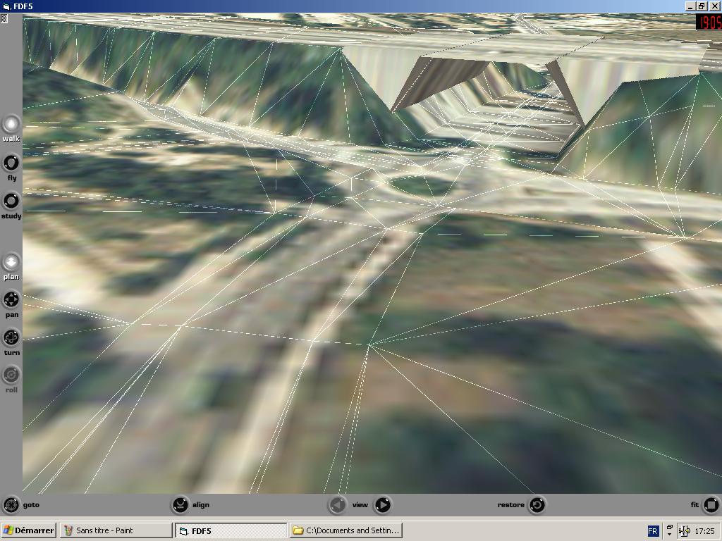
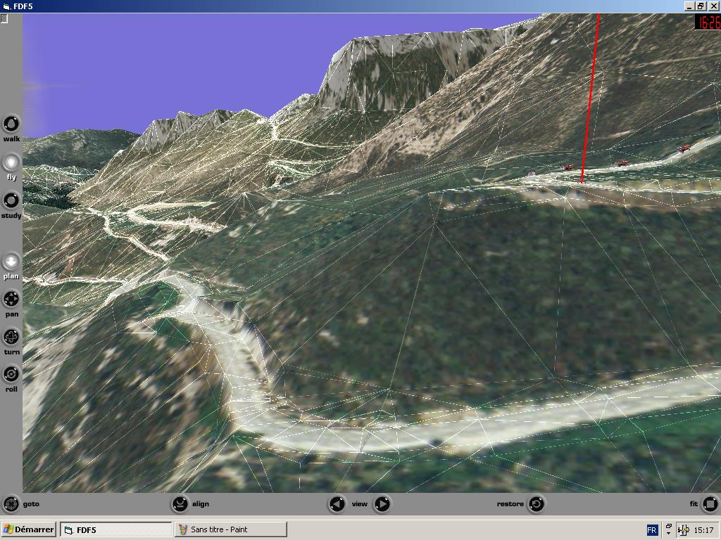
Specific tools had to be developped for terrain generation. Ground navigation support makes terrain dev a bit tougher : roads must be 'plane', even if on a hill side, lakes and see got to be strictly flat. While looking at ground from far (flight nav), small geometrics artifacts are better rendered using shaded raster or bump maps, when it comes to ground nav ... those artifacts have to be really volumic. Those constraints are very high when triangle count is the main concern.
So a specific tool has been designed to automatically perform an adaptative decimation, constrained triangulation and multiresolution edge preserving tile splitting. Here are some output samples :
click on the images for a larger view
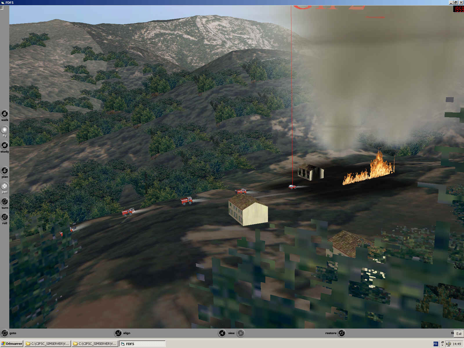
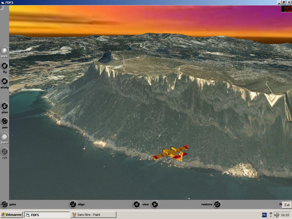
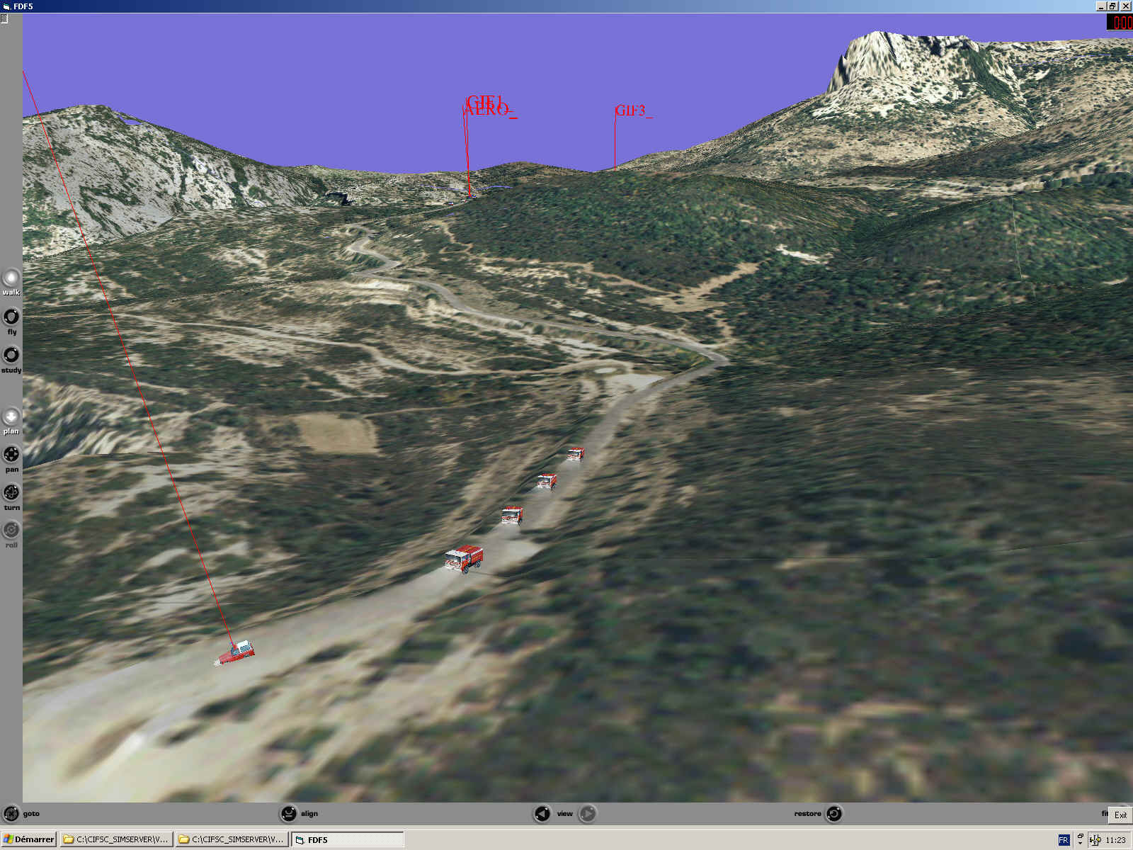
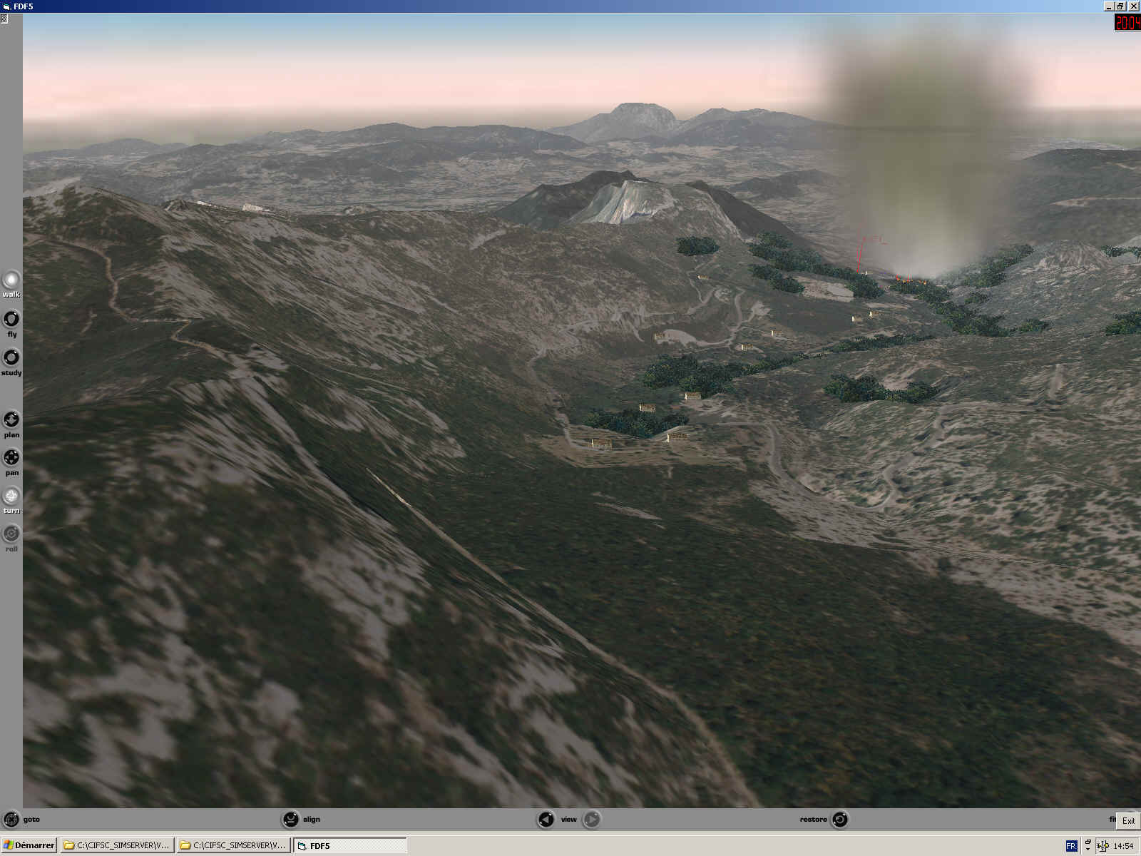
Some screen shots :
|
|
|
|
|
|
|
|
|
|
|
|
As part of the terrain is an embedded mechanism for road navigation (weighted Dijskra based), that enables a 'point and click nav'.
Terrain is used too for fire and smoke height indexing.
A little mental computing (50 cm pixel resolution over 1 000 sq kms) will prevent you from asking any terrain download, and anyway, I'm tied by copyright distribution, so that'll be screenshots ...