![]()
![]()
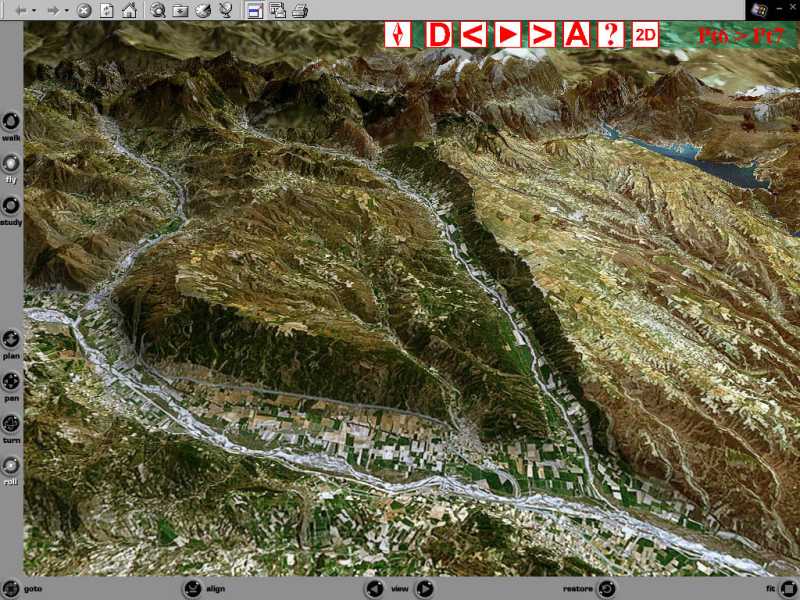
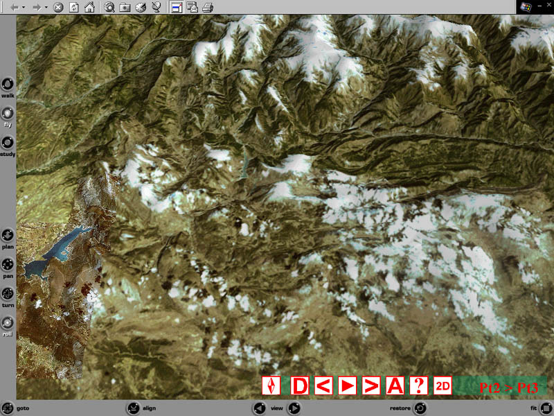
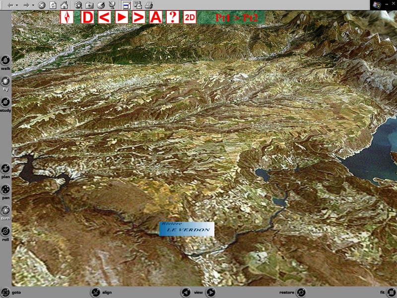
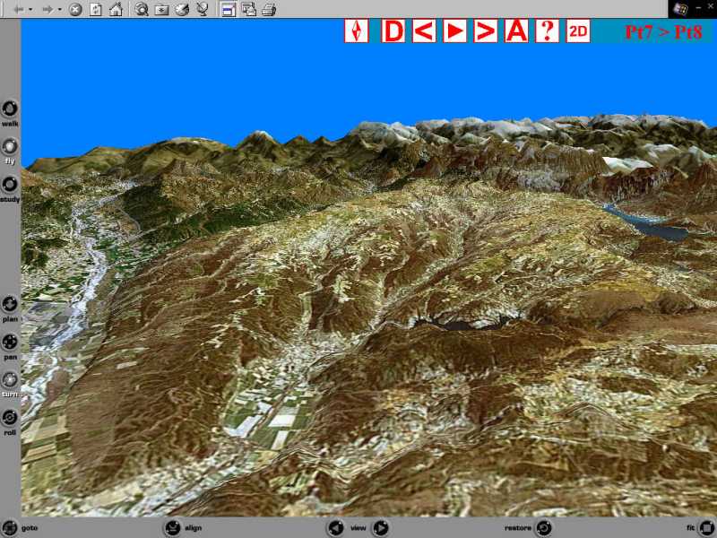
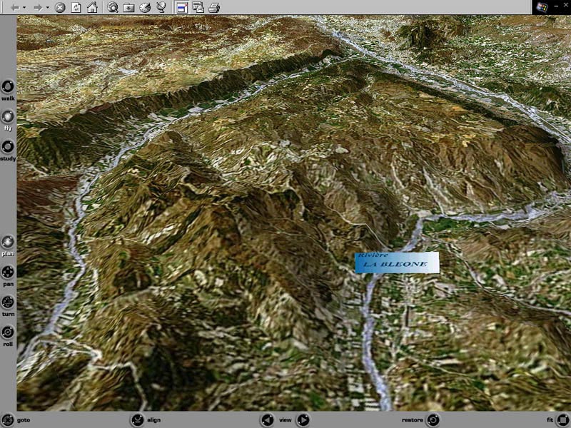
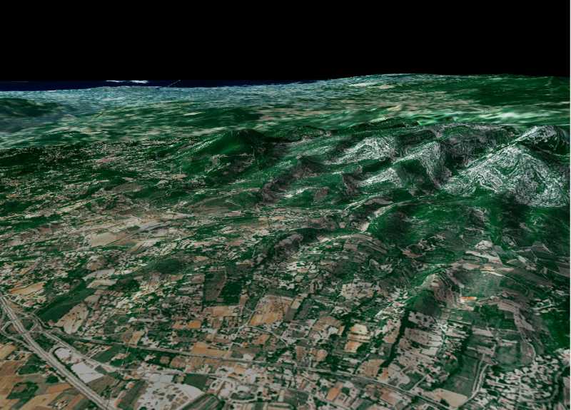
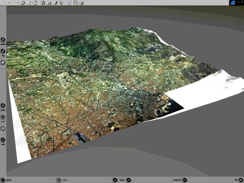
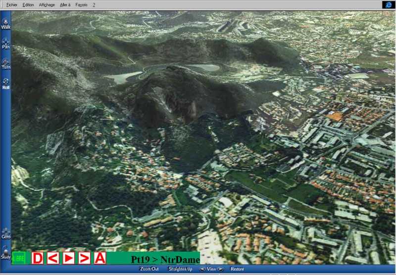
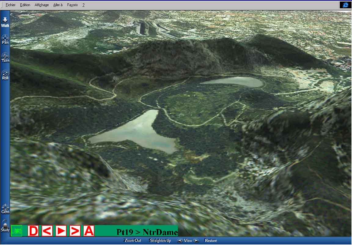
| The Alps, Durance valley |
|
DIMENSIONS
|
DATA
|
PROJECTION
|
REMARKS
|
|
Central Area 30*30 Km
Periphery
|
TIN from 250 m DEM «» LandsatTM
30m pixel
TIN from 250 m DEM «» LandsatTM
200m pixel
|
MapInfo™
VRML
|
Data Copyright : www.geosys.fr |
 |
 |
hydrology
|
 |
 |
Geo references Toponymy |
 |
 |
free flight / walk- planned paths with user control. Interactive
hot spots with database connection
|
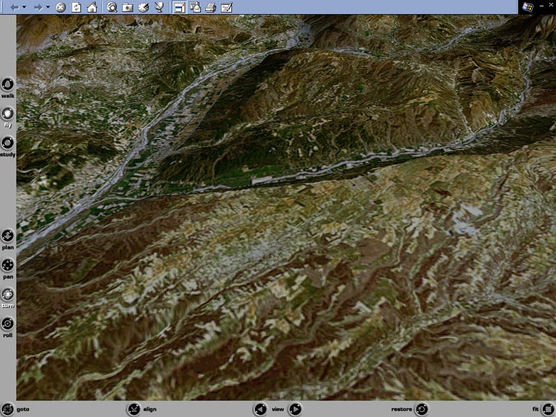
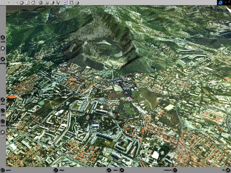
| Aubagne, Huveaune valley |
|
DIMENSIONS
|
DATA
|
PROJECTION
|
REMARKS
|
|
Central area : 10*10 Km
Periphery : 60*60 Km
|
TIN from75m DEM «» ortho-photo
2m / pixel
TIN from 250 DEM «» LandsatTM
30m / pixel
|
MapInfo™
VRML
|
 |
 |
Civil engineering Civil works simulation |
 |
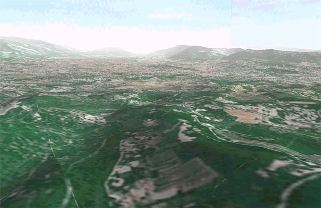 |
Spatial analysis Ground management |
 |
 |
Environment Project communication |
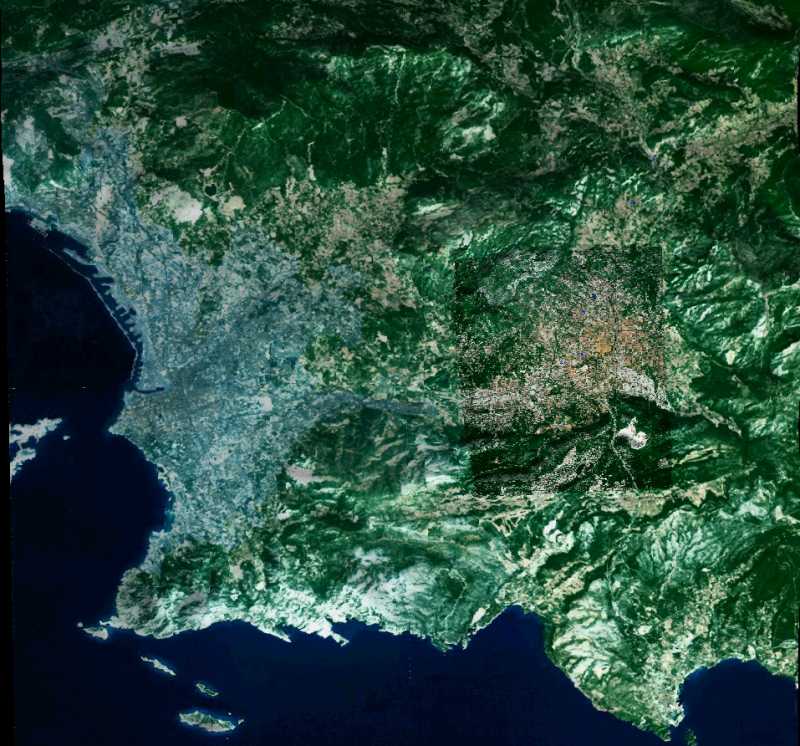
| Marseille |
|
DIMENSIONS
|
DATA
|
RASTER
|
REMARKS
|
|
Central area : 2500*5000 m
Periphery : 10*10 Km
|
TIN from 5m DEM «» ortho-photo
1m / pixel
TIN from 100 m DEM «» ortho-photo
10m / pixel
|
MapInfo™
VRML
|
 |
 |
environmental simulation environmental mapping
|
 |
 |
Guided tours |
 |
 |
Quarry management and exploitation simulation |
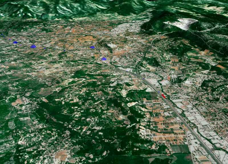
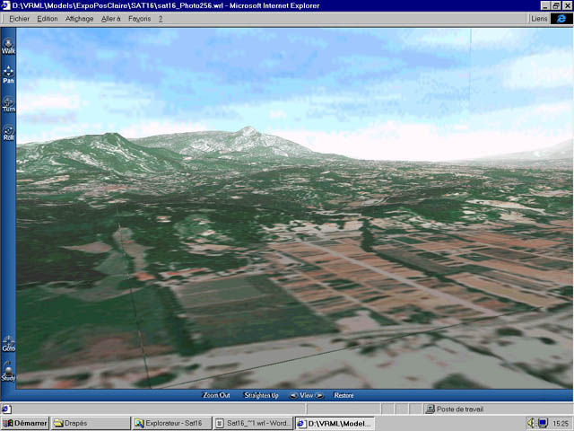
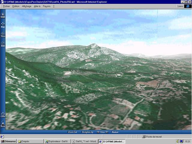
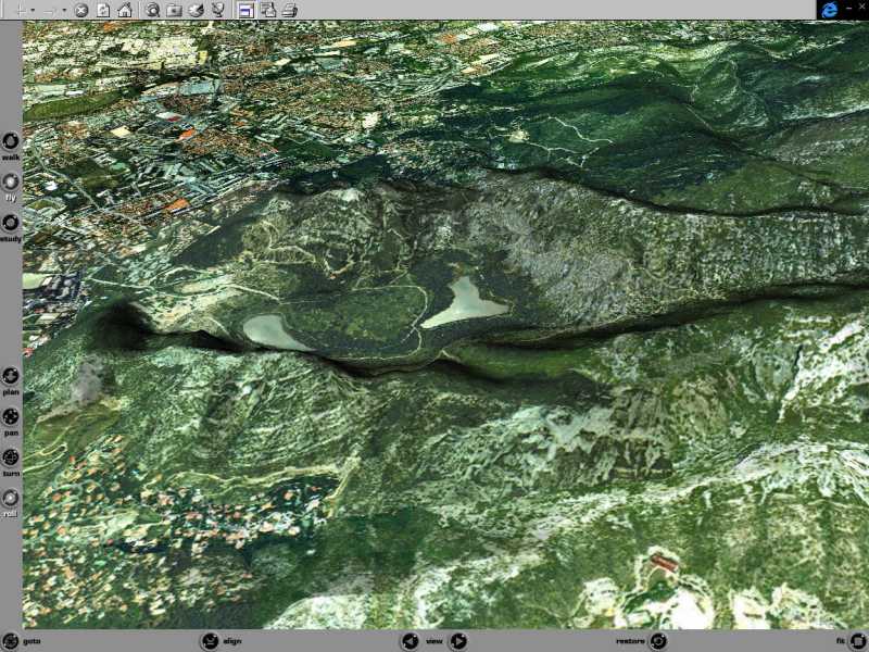
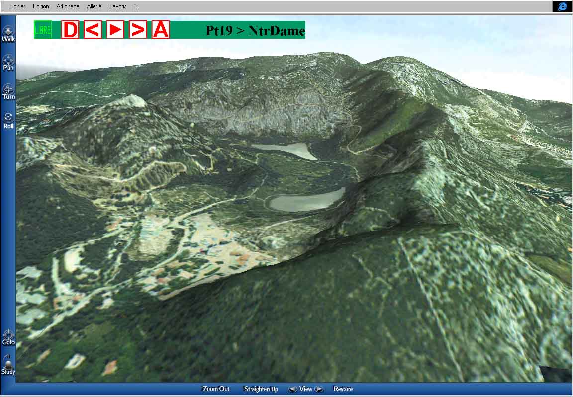
| Mont Ventoux |
|
DIMENSIONS
|
DATA
|
PROJECTION
|
REMARKS
|
|
Zone centrale 5*5 Km
Zone périph 30*30 Km
|
TIN from 50m DEM «» ortho-photo
1m / pixel
TIN from 250m DEM «» LandsatTM
30m / pixel
|
MapInfo™
VRML
|
Under construct |
 |
high res slopes analysis (ski station) hydrology 3D ortho-photoplan |