Geo Analysis Tools

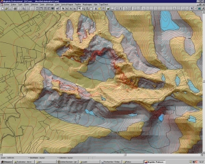
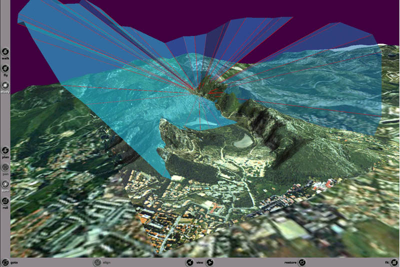
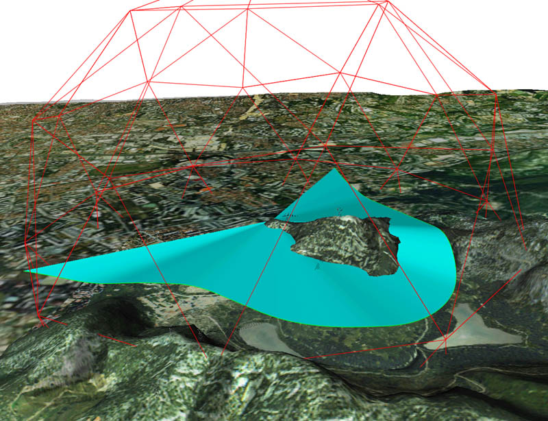
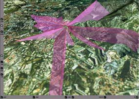
The shift from classic 2D maps to 3D makes some analysis and phenomenons explicits : slope, exposition, some hydrologic phenomenons becomes directly viewable...

As an example, a scalar or vectorial field (geology, atmosphere, etc ..) is difficult to present in 2D. Using 3D, it's possible to shift from the classic 'cutting plane' to the 'cutting box'.

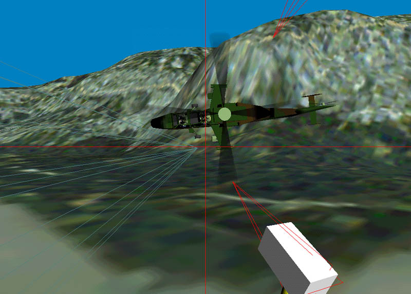
The use of Virtual Reality expends this and leads to new representations, and new tools for the exploration of geographic data..


As an example of this concept, you'll find below what intervisibility analysis may be using 3D ...

First, what's available in 2D (or is it 2.5 D ?) : point to point intervisibility analysis using MapInfo tm and Vertical Mapper tm.

An altimetric model (shaded), is used to compute the regions viewable by an observer..

Clutters are hard to find, their strength are unknown, the viewing angle isn't reported.

It's very hard to derive from this simple map what the intervisibility is if the user or a sought object is free to change it's altitude.

An alternative representation in 3D:

The areas/space under the corolla are not visible from the point of observation, the altimetric model is explicit, the user may 'walk' or 'fly' around to verify on spot..

The lightweight construction enables interactive creation of one or more corollas (less than 1 second for an analysis).

Clutters are explicit, as well as the viewing cutting plane Low strength clutters (low angle viewing) are evident.

Intervisibility at different altitude is explicit.

Intervisibility analysis between a point and a path (for example, the path can be the path of the user, moving freely in the scene, or a GPS gathered data, or a path define in a GIS for mission planning). The surface is drawn in real time.

The penetration of the mobile within the sensitive area, triggers the drawing of a surface between the mobile and the observers point.

Clutters / obstacles are explicit.

This can be extrapolated to 2 moving points (user and observer moving).

This would only be possible in 2D in the trajectory(ies) were strictly monotonous (no come backs, no vertical moves).

Another exemple of explicit intervisibility between N moving points :

Each observer, user, moving object, embeds one or more tracking camera, automagically focused on each moving object (user,observer, ...). This enables to analyse any complex intervisibility study.

Here, what is the path I must follow, to keep a target in view, while avoiding observer intervisibility and against sky (or clear cliffs, etc ...) visual detection. And what optical / weapon systems parameters are best fit ...