Production Tools

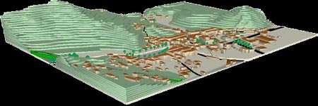
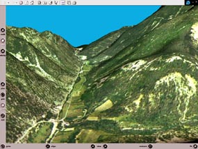
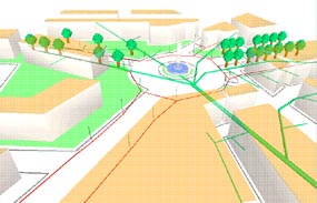
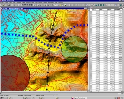
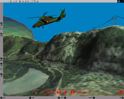
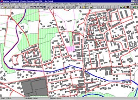
The production of virtual environments answers different kind of problems. A basic is the visualisation and comprehension of spatial structures and their implications.

A virtual environment may be a component of a larger management tool, decision helping or simulation tool.

It can be a common ground for other application, act as a visual framework or as a pedagogic tool...

No matter the use, it's pertinent to generate a virtual environment from a Geographic Information System.

The structuring parts of the virtual environment are generated by a GIS, using databases (tographic, construction, networks, ground use, ...). The GIS can be used to provide thematic information, toponymy, symbologic mark point, graphs, etc ....


Complex 3D objects, still or dynamic, simple,reactive, interactive or behaviour enabled (construction urbanware, vegetation, vehicules, humans, ...CAD generated objects, ...) can be incorporated at generation or visualisation time, and can add to the realism or the complexity of the environment. We can design almost anything virtual to fit your needs..

Some objects can be created from a predefined procedure during the visualisation (cantenary pipes and piles for example) so that the user may change the parameters while 'in' the model. Any object may be edited and manipulated while immersed in the virtual environment.

countryside realism

touristic visualisation

urban symbolism

underground hydrolic networks


Using a GIS grants productivity, evolutivity and adaptability of the 3D environment:

MapInfo tm used as a VRML generator.

visualized information are :

  • altimetric data
  • networks (roads, hydro, electricity)
  • volumic information
  • a flypath
  • an aerial shot